The Strategic Flood Risk Assessment (SFRA) for South Ribble and Preston and Chorley – undertaken as part of the Local Development Framework planning for the future development strategy for these areas – has finally been published and made available on Preston City Council’s website. The
SFRA Final Report plus the
Executive Summary and one
Appendix - the Preston maps - have been posted online, although most of the Appendices referred to in the Report are not currently available on the website.
As well as identifying the risks of flooding in the area – existing and future - the Final Report also shows that there are proposals for a “Major Development Site” at Riversway, which, as you can see from the big yellow block on the map below, runs across a huge area below Lea and the Larches from the west of the Docks alongside the River Ribble and off the map towards Freckleton. Is this another part of the Riverworks scheme? Before we take a close look at the Final Report for the SFRA, here’s a summary of the main issues outlined in the document:
1. Flood risk has been designated by areas called “zones”, Zone 3 is considered at greatest risk of flooding and marks areas which the Report states should only be developed when ‘there are no reasonably available sites’ in Zones 1 or 2;2. Locations identified to already be particularly affected by flooding from various sources include Penwortham, Walton-le-Dale, southwest Preston, Croston, and Bamber Bridge; 3. There is an increasing level of flood risk to the area over the coming decades as a result of climate change;4. Providing strategic flood storage in upper catchment areas can potentially provide protection to areas much further downstream and ‘providing more “green” spaces within the urban environment can also help to reduce runoff and also increase wildlife habitat’;5. All projected developments will now have to be assessed against flood risk, and of those projected new developments so far assessed, the new development proposed for RIVERSWAY in Preston (see the yellow block on the map below) ‘is shown to be at a significant risk of flooding from the tidally influenced reach of the River Ribble’ (viii). Here is a section of the map showing the areas running alongside the River Ribble (full map available on the Appendix link above)…
 click on the map to enlarge it…
It is unfortunately not very easy to see from the map what it means on the ground. Some of the colour-codes on the key are difficult to read, plus unfortunately the map reproduced on the PCC website is only the Preston map, consequently the area south of the river is not as clearly represented anyway (we are currently trying to get a copy of the South Ribble map to enable a better look at the whole area – as soon as we get a copy it will be posted online here).
- Zone 3 is land at highest risk of flooding, and is land of two specific types which have been combined for ease of implementation: 3b is the Functional Floodplain (only deemed so where it hasn’t already been developed) and 3a is the combined outline for river and tidal flood risk…
…and as you can see from the map, there is also “Zone 3 plus Climate Change” which has factored the future projected increases in flood risks into the area.
- Zone 2 is the “extreme flood event outline” – meaning areas considered at lower risk than Zone 3, being at risk only in extreme circumstances;
- Zone 1 is land not considered at risk of flooding from rivers or tidal waters (although there may be local issues such as drains, surface water runoff etc).
As far as we can tell from the rather blurry colour-coding on the map and on the key, the pale green swathes of land running alongside the River Ribble from west to east on the map appear to be representing “Flood Zone 3 plus climate change” – that is, the land it is now considered we should NOT develop on due to existing flood risk AND climate change factors.This Zone runs from New Lea Hall in the west, through Riversway and Docklands, through Broadgate, across to Penwortham Holme, Lower Penwortham and Middleforth, Walton le Dale, Frenchwood, Fishwick, and beyond - and it also appears to include the huge area of Riversway the Report shows is being proposed for a “Major Development” running westwards from the Docks (the yellow block can just be seen to be sitting inside the pale green Zone 3… the Zone highlighted in the Report itself as the least desirable areas for future developments due to existing and increasing flood risks...)
The diagonal purple lines covering large sections of the map appear to be the “Flood Warning Area” - coupled with several “Flood Storage Areas” where they appear to be doubled with the diagonal blue lines - running from the river opposite Riversway on the Penwortham bank, and all across two large stretches of Penwortham (on the west towards Hutton and at the centre running east through Walton le Dale), plus across Avenham & Miller Parks, Frenchwood and right over Fishwick Bottoms.
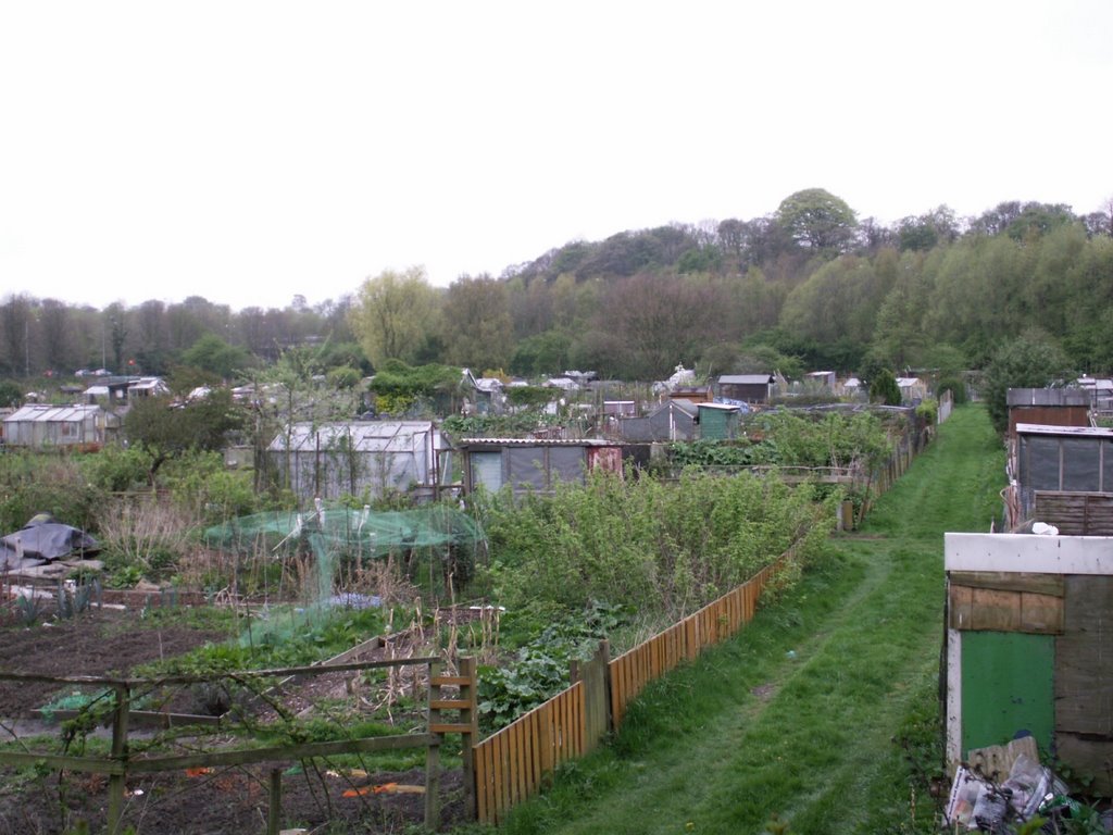
Several of these “Flood Warning” and “Flood Storage” areas are of course largely the floodplains, Green Belt areas, allotments and sports pitches we have been arguing for the past two and a half years should NOT be developed into huge housing estates as part of the Riverworks scheme as this would increase floodrisk for those existing communities they currently protect from flooding aswell as being at risk themselves...
These are the main points, but if you'd like further details, read on…
The Flood Risks...The SFRA notes that ‘In general, the fluvial [river and rain] and tidal [sea and tidal zone] flood risk across the study area is low’, but does point out that ‘there are significant areas in the west of the study area that are potentially at risk of flooding’, and that ‘Locations… that are particularly affected by flooding include Croston, Penwortham, Walton-le-Dale and southwest Preston’ (page vi in Executive Summary).
Areas which are considered to be ‘particularly affected by sewer flooding’ are Grimsargh, Walton-le-Dale and Euxton ‘and their surrounding areas’ (vii).
Areas which may be particularly subject to groundwater flooding include Preston and parts of Penwortham, Walton-le-Dale and Bamber Bridge (vii).
The Report states that ‘locating and providing strategic flood storage in upper catchment areas can potentially provide protection to areas much further downstream’ and notes that at present there is only one ‘formally maintained flood storage area in Central Lancashire, which is located adjacent to Savick Brook in Fulwood, upstream of where Savick Brook passes beneath the A6 (Garstang Road)’ (vii).
In that case, all the more reason to consider creating more wetland areas - perhaps on the Penwortham Green Belt - to increase flood storage capacity (with the added bonus of increasing biodiversity for the Ribble corridor and improving our local green amenities!)Future Predictions...‘A number of studies in addition to the CFMPs [Catchment Flood Risk Management Plans] have identified an increased level of flood risk to the sub-region over the next 25-100 years as a result of climate change.'
- 'Firstly, as a result of wetter and warmer winters, an increase in large fluvial flood events is likely to affect the larger rivers and watercourses in the sub-region. - 'Secondly, extreme rainfall events are likely to become more frequent leading to a greater storm intensity and duration. This is likely to lead to a great deal more runoff causing surface water flooding and overwhelming of the urban sewer networks in particular’ (vii).
‘To attempt to counteract this increase in runoff in local areas, the use of Sustainable Drainage Systems (SuDS) is becoming more important’, also ‘providing more “green” spaces within the urban environment can also help to reduce runoff and also increase wildlife habitat… [and can] sometimes be most effective when placed alongside development in water corridors’ (vii).
The Final Report notes that the River Ribble drains 1,490 km2 of Lancashire and North Yorkshire along its 100km stretch, and that ‘Development in the natural floodplain over time has increased the risk of flooding at some locations, including Preston’ (Final Report page 5).
In the break-down of specific flooding causes and the risks from each of these on pages 6-9, details are presented about the risks from fluvial (river waters/rainfall) tidal, pluvial (overland including surface runoff and drains), sewers, groundwater, and artificial sources…
A little further on, in the discussion on climate prediction modelling, the Final Report states that the figures show ‘There is a potential for increased peak river flow [the working figures are for a 20% increase] … and an increase in peak flow results in a greater floodplain envelope’ (p9).
In common language this means that it is expected that as rainfall increases, the river levels and flows will increase, flood risk will increase and therefore we will need to allow for more floodplain provision than we have at present - so it is important that we not only protect what we still have from further development but will need to INCREASE it.
In the tidal reaches of our rivers, this may well need to be increased further still as the Final Report also makes it clear that there is an expected increase in sea levels over the coming decades.
Increases in rainfall is also an issue in respect of surface water flooding, and overflowing of sewers and drains.
A helpful table shows the figures which we need to take into account in our planning over the coming decades:
Peak rainfall intensity will increase by: +5% to 2025; by +10% to 2055; by +20% to 2085; and by +30% to 2115;
Peak river flow will increase by: +10% to 2025; by +20% to 2085;
Offshore wind speed will increase by: +5% to 2055; +10% to 2085;
Extreme wave height will increase by: +5% and +10% over the same period.
Recommended contingency allowances for sea level rises for North West England in mm per year:
2.5 mm per year to 2025: 7.0 mm/yr to 2055; 10.1 mm/yr to 2085; 13.0 mm/yr to 2115.
Please note these measurements are millimetres per year, not metres.CORRECTION MADE TO THIS ARTICLE ON 13TH JANUARY 2008:Many apologies for my previously posted - and incorrectly calculated figures - on friday 11th, and many thanks to Mike for pointing these out to me.The figures should have been as follows:
The sea level rise figures used in the SFRA indicate that:
- the current predictions are that over the next 17 years, to 2025, sea levels will rise in the NW by 2.5mm per year, so by approximately 4.25 centimetres altogether;- and over the following years the amount increases to 7.0mm per year so a further 21. centimetres over the next 30 years to 2055 (so a running total increase of 25.25 centimetres),- by 10.1mm per year over the next 30 years to 2085 so another 30.3 centimetres
(total 55.55 centimetres),
- and by 13.0mm/year over the following 30 years to 2115 so a further 39. centimetres
(94.55 centimetres - almost a metre - in total).The Sea Level rise predictions need to be added, of course, to the predicted increases in rainfall over the same period to assess our increasing floodrisk as best we can.
Whilst what may happen over the next 20 to 100 years may seem too far off to care too much about, if you think about how long ago your own house was built – many of us live in houses built between 50 and 100 years ago - you will soon realise that our children and grandchildren will, in 2085, be occupying our existing housing and new houses which will be built over the coming decades, so it is vitally important that we start ensuring we build on higher ground NOW and keep our existing floodplains and land which will become floodplain over the coming decades clear of development.The SFRA will form a key component in deciding where any proposed building developments should go ahead:
-
Flood Zone 1 (lowest risk of flooding) forming the preferred area for development, - Zone 2 to be considered ‘where there are no reasonably available sites in Flood Zone 1’,-
‘only where there are no reasonably available sites’ in Zones 1 or 2 ‘should development be located in Flood Zone 3’ (the highest risk areas) (page 16).
The document DOES state its intention that
its ‘aim… is to direct new development towards areas that have a low probability of flooding’ (18), and as well as strongly agreeing with this aim,
we would argue that NO development should be allowed to take place in Flood Zone 3 AT ALL!We already have far too many communities at risk of flooding, and the extent and costs of flooding are set to increase year on year within our existing communities and infrastructure. We MUST ensure ALL developments meet the strictest tests for ensuring our long-term economic and environmental sustainability.
In the combined areas of Preston, South Ribble, and Chorley (total land area of 459 km2) which form the component areas of the Central Lancashire Local Development Framework (of which the SFRA forms a key part), the Final Report notes that:
7.40% (33.97 km2) is Functional Floodplain Zone 3b;
4.42% (20.28 km2) of the area is in Highest Flood Risk Zone 3a;
- (so almost 12% of the land area is in thr highest flood risk zone 3)whilst 2.66% (12.22 km2) is in Flood Zone 2.
This adds up to 14.48% (66.47 km2) of the total area as either operational floodplain or at some or high risk of flooding,
presumably leaving approximately 85% (392 km2) of the total area in Zone 1, i.e. at lowest probability of flooding.Of course there is a great deal of agricultural land and huge swathes of fantastic unspoilt natural countryside in the area, so Zone 1 does NOT simply mean “Develop Here!”
But it does indicate that there are a lot of areas to choose from when considering any necessary new building developments – as the Report itself recognises (see page 18) so avoiding areas at risk of flooding and avoiding areas of functional floodplain when planning new developments over the coming decades should be fairly straight-forward….
Of the total area of land covered by the three Local Authorities, approximately 16.41% (75.34 km2) is already developed, and of these developed areas we already have 6.57% (1.78 km2) on Functional Floodplain (Flood Zone 3b), 2.80% (0.63 km2) at High Flood Risk (Zone 3a), and 3.14% (2.37 km2) in Flood Zone 2 so
a total of 12.51% (4.78 km2) of the already developed areas are currently at medium to high risk of flooding or are on operational floodplain areas.
That this figure is fairly close to the 14.48% of land in the whole area at some risk of flooding or is operational floodplain indicates that, up to now, flooding has not been taken as seriously as it needs to be when deciding where to develop.
From now on, as the SFRA Final Report makes clear, all new development proposals will have to take what is called a “Sequential Test” which is ‘designed to ensure that sites at little or no risk of flooding are developed in preference to areas at higher risk’ (20). This seems to indicate that the proposed major development at Riversay CANNOT go ahead as the Report itself identifies this development proposal as 'at a significant risk of flooding'!!
Yet, as the Report itself shows on page 25, the development being proposed for Riversway (presumably part of Riverworks?) has already undertaken a Flood Risk Assessment which has ‘made a number of recommendations, including increasing the crest level of defences along the River Ribble [from a minimum of 7 metres] to 8.27 metres AOD and along Savick Brook [from 7.2 m] to 8.17 metres AOD’ which would increase flood protection for the area in line with the climate change predictions (25)...
- but WHAT EXACTLY IS BEING PROPOSED FOR THE AREA? Is it related to Riverworks?
- Surely much if not all of this land is currently green - which adds to rain water storage capacity and allows flooding without damaging communities - important land to protect (and in highest risk Zone 3) as the Report itself recognises?
The Sequential Test has to take into consideration ALL flood risk issues, including Surface Water, Drainage, Sewers, and Groundwater, as well as Fluvial (river and rainfall flows) and Tidal systems, and the entire forward planning (Local Development Framework) in the area must also consider the Environment Agency’s and other agencies policies on sustainable water-use, biodiversity, and flood risk management in the Catchment Management Plans for the River Ribble, River Douglas, and River Wyre. Changes in land use or land management of any kind can impact on the River into which that land drains, and impact on biodiversity as well as flooding risks. (See pages 22-26).
Projected Housing Increases noted in the SFRA Final Report...The housing increase targets in the draft Regional Spatial Strategy (RSS) for Preston, South Ribble and Chorley have now been set at 9,120 for Preston, 7,500 for South Ribble, and the same for Chorley, although the Secretary of State is apparently due to submit changes to the RSS, and ‘In addition, the three authorities have recently submitted an expression of interest jointly with Blackpool Council for a Growth Point, which will require an increase in housing provision of at least 20% above draft RSS figures’ (vii), so this will mean AT LEAST 9,000 EXTRA houses in South Ribble, the same for Chorley, and AT LEAST 11,000 EXTRA houses for Preston, by 2021…
As all projected developments will have to be assessed against flood risk, of those projected new developments so far assessed, the new development proposed for RIVERSWAY in Preston ‘is shown to be at a significant risk of flooding from the tidally influenced reach of the River Ribble’ (viii), so regardless of whether this is housing or not, the Strategic Flood Risk Assessment shows that building in Zone 3 is a Bad Idea...
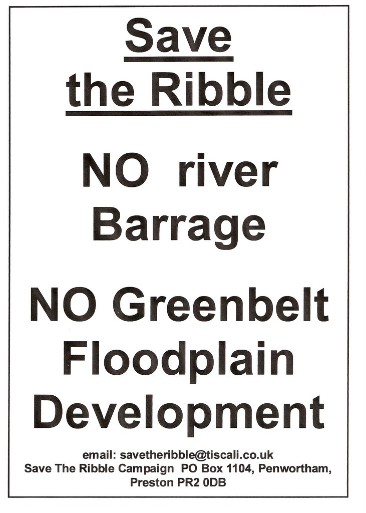
You can contact us at
savetheribble@tiscali.co.uk